Shortcode Cleaner
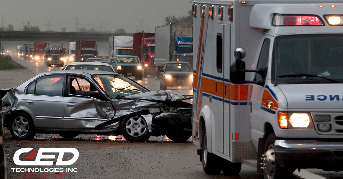
Hop on the highway for a road trip or your morning commute, and one day you’re bound to see it – an orange sign signaling “Road Work Ahead.” You’re likely to see a roadway construction crew operating midday or at night, to avoid tangling with morning and evening rush hour commutes. Most State, County, and City Temporary Traffic Control Plans are established to be in compliance with the Manual on Uniform Traffic Control Devices (MUTCD) in order to provide the safest means possible to control traffic through or around a work zone.
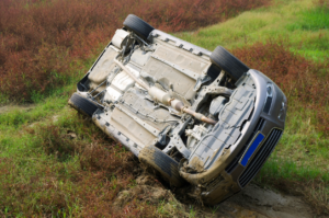
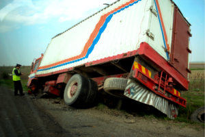
Every year roadway construction workers, along with thousands of other people, are injured and killed in car accidents. According to the Institute of Insurance Safety a total of 37,133 people were killed in car accidents in 2017. Fatality data from the Bureau of Labor Statistics (BLS) shows an average of 56 worker-pedestrians are killed every year after being struck by vehicles in work zones.
These are the top five causes of roadway and construction accidents in 2020:
- Distracted Driving This is now the leading cause of car accidents, above speeding. Texting while driving has become all too common. It takes only a momentary distraction to cause a serious accident.
- Speeding Drivers often ignore posted speed limits, especially on the highways. Lately more have been speeding since there have been fewer cars on the road due to shelter in place recommendations. The faster someone drives, the longer it takes to slow/stop once they react.
- Drunk Driving Driving under the influence is one of the leading causes of accidents in the US. If a driver plans on drinking, they should give up the keys to a designated driver, call an Uber or other ride service, or stay where they are until they are sober.
- Reckless Driving Reckless driving behavior includes driving over the speed limit, changing lanes too quickly, or driving/tailgating aggressively.
- Dangerous Weather Conditions Driving in dense fog, through heavy rain, high winds, or on slick roads can cause accidents, especially if the driver is unprepared for the road conditions or does not adjust their speed accordingly.
To gather data from crash sites, our engineers at CED employ the latest in drone technology. According to Perdue University, research shows that drones are more effective and safer than other methods when used to record highway and roadway construction accidents. Conventional methods of mapping a severe crash could take several hours, which may back up traffic and cause “secondary accidents” – which, according to the U.S. Department of Transportation’s Federal Highway Administration, can be worse than the accident at hand. While safety officials are assessing and documenting a crash site, the rate of secondary crashes can go up to 24%.
Ayman Habib, the Thomas A. Page Professor of Civil Engineering at Purdue University, notes that “… using a drone can map a scene in five to eight minutes, allowing public safety officers to open the roads much quicker after an accident.” Professor Page states that drones supply engineers and safety officials with comprehensive documentation, such as high-quality maps, imagery, and models for post-crash investigation. CED uses drone technology to map the roadway crash site. This improves safety by reducing secondary crashes and diminishes the hazards of those working close to highway traffic after an accident.
Click Here To See Our Full List of Experts Click Here To Submit an Inquiry about a possible Claim or Case.