Shortcode Cleaner
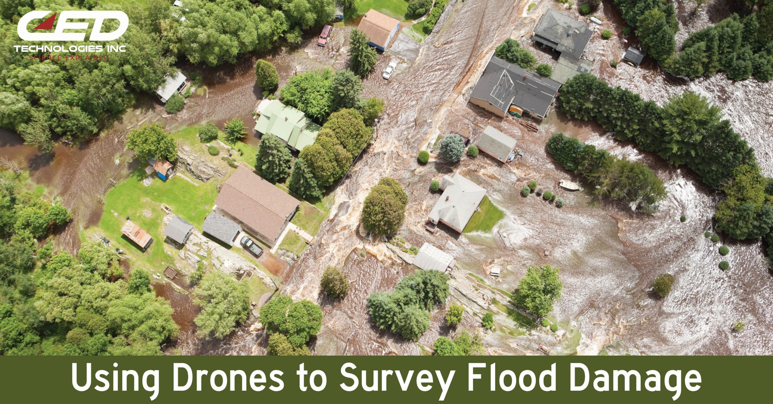
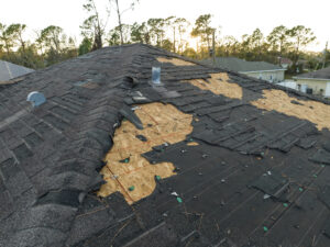
CED’s team of experienced engineers use drones for multiple applications. From railroad accidents and vehicular crashes to premises liability and construction site reviews, we use drones to get a new perspective on a case or claim.
Drones can also be a useful tool for surveying floods and their damage, which costs billions of dollars every year in the US. When floodwaters recede, affected areas can be blanketed in silt and mud, while the ground can be contaminated with hazardous materials such as sharp debris, pesticides, fuel, and untreated sewage. Potentially dangerous mold blooms can quickly overwhelm water-soaked structures. Considering the lasting damage of a flood to structures, infrastructure, and other features is key to understanding the full extent of a claim.
When reviewing the impact of a flood, a drone helps engineers to safely, quickly, and effectively get a better overall view. Our drones capture high resolution, 20-megapixel photos while flying over an area to build a 3D model of the affected area. This 3D modeling fits seamlessly into Google maps for context on a larger scale.
If you have a flood claim, contact CED to investigate. Our team of experts can find the cause and origin of the flood as well as the extent of the damage. Construction sites, commercial buildings, and homes can all be affected by flooding. The right expert will consider human factors, weather systems, building structures, and other components. Submit your next case or claim online and see our full list of experts here.
Click Here to Submit an Inquiry for a Claim or Case.